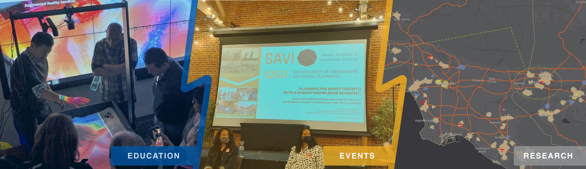
Furthering justice with spatial analytics & visualization!
Welcome to the Spatial Analytics and Visualization Institute (SAVI) page, an official SJSU Campus Institute in the California State University system. We are the only CSU Institute in Northern California to implement advanced GISci techniques for justice, equity, and democracy research and education! SAVI uses the power of geography and Geographic Information Science to produce impactful research and professional services with focus on furthering justice, equity, and democracy to serve our university departments, neighborhood organizations, public agencies and private sector entities in Silicon Valley and the Bay Area.
News
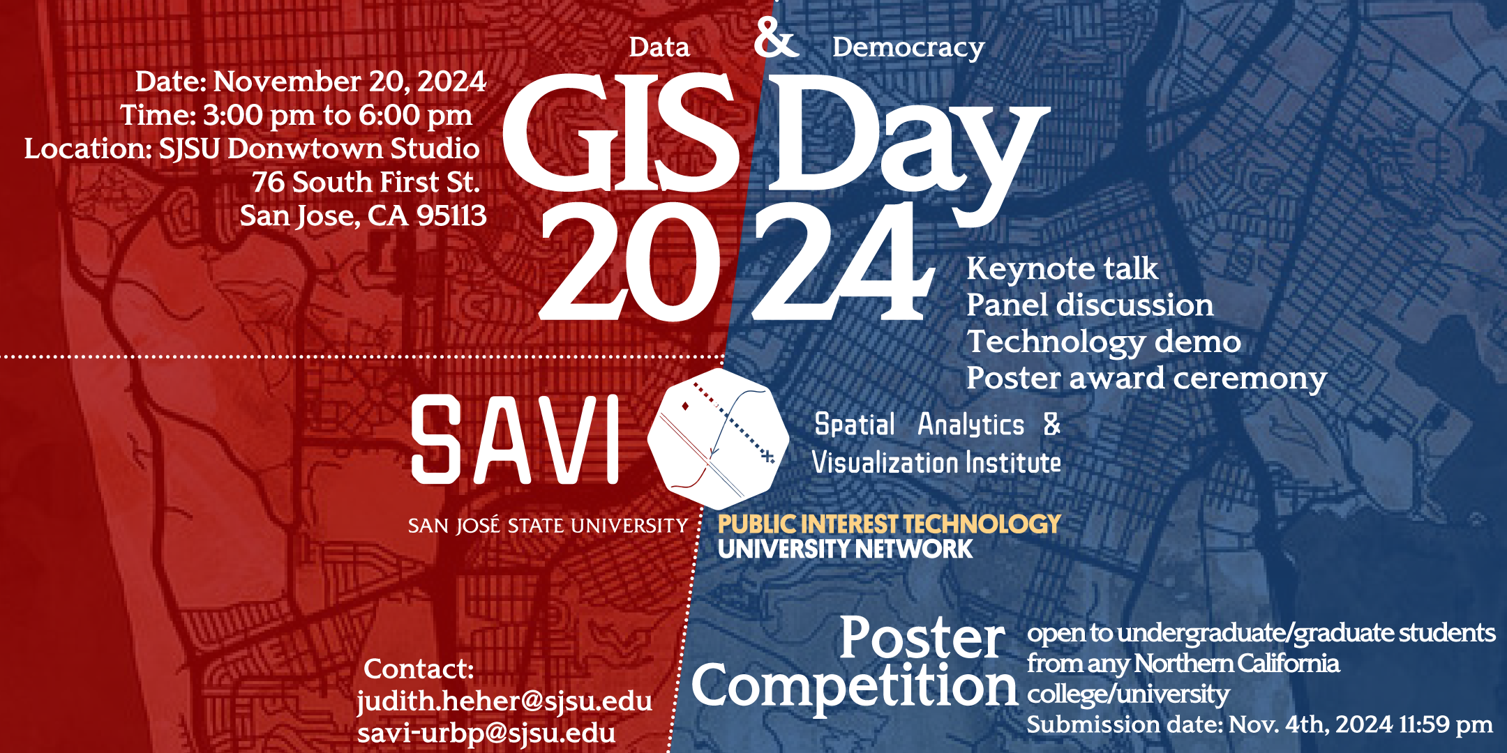
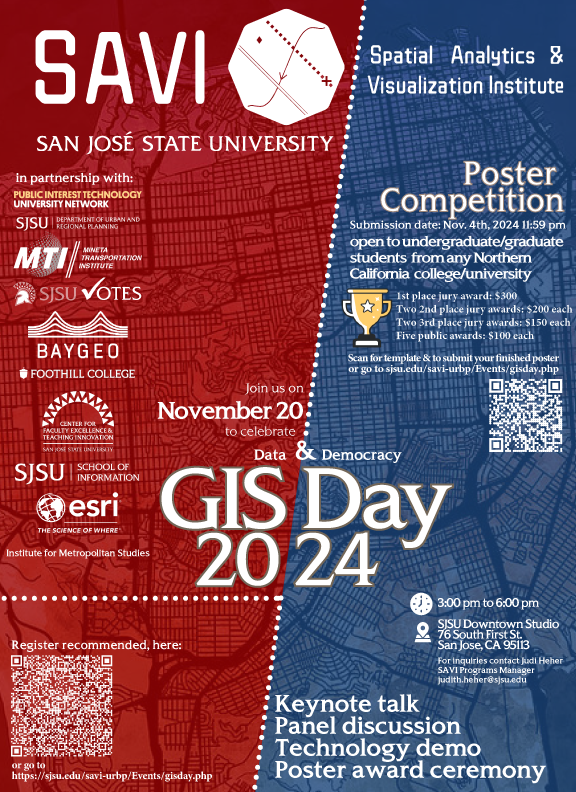
Join us to celebrate GIS Day 2024 with prizes and event!
The Spatial Analytics and Visualization Institute (SAVI) at San José State University, in partnership with the Public Interest Technology University Network (PIT-UN), invites students to participate in the **2024 Student Poster Competition**. This competition highlights work in **spatial analytics and visualization** across topics such as **urban planning, geography, UAVs/drones, wildfire science**, and **public policy**. Submissions should feature a significant spatial data component. While not required, students are encouraged to align their projects with the **2024 GIS Day theme: "Data and Democracy"**. ### Awards: - **1st Place Jury Award**: $300 - **Two 2nd Place Jury Awards**: $200 each - **Two 3rd Place Jury Awards**: $150 each - **Five Public Vote Awards**: $100 each **Submission Deadline**: **November 4, 2024**. Winners will be announced during **GIS Day on November 20, 2024**, at **Studio on the Street (76 South First Street)** from **3:00–6:00 pm**. Join the GIS Day celebration, co-hosted by SAVI and the SJSU GIS and Drone Society, for exciting talks, interactive maps, art, and food. Don’t miss this chance to showcase your work, win prizes, and be part of the conversation about how spatial data can drive democracy! Start preparing your posters today!
Featured Project
Past Events
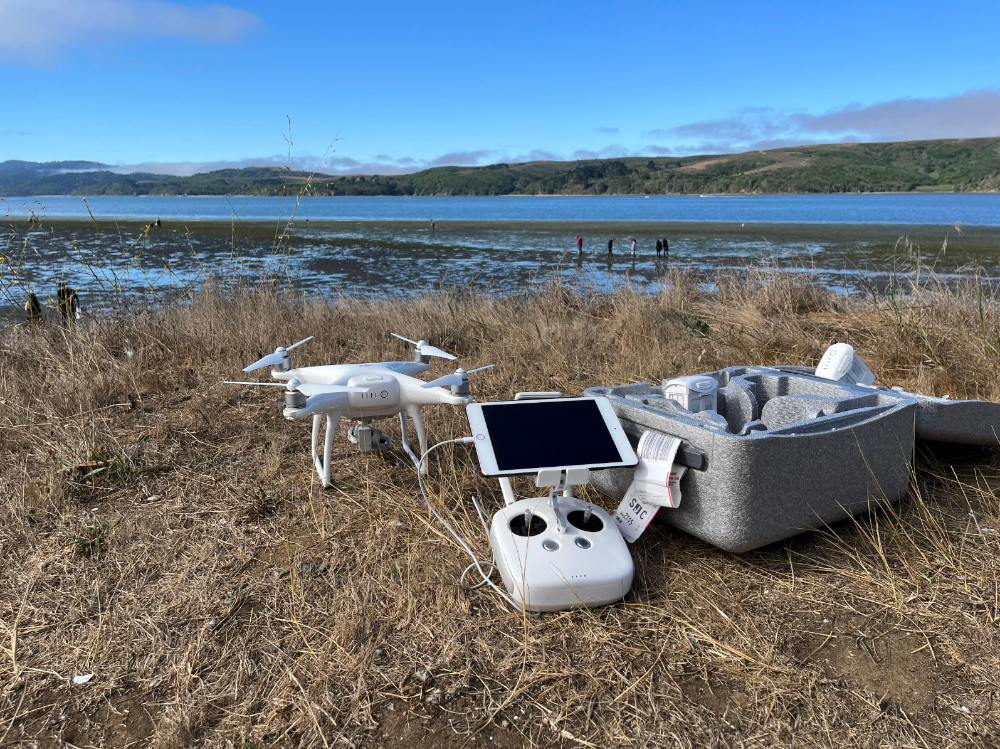
Coastal ecosystems and eelgrass habitats provide important services to the marine environment, including primary production, carbon storage, nutrient cycling, habitat for fisheries species, and erosion control. UASs with high spatial resolution, temporal flexibility, and cost-effectiveness for repeat photogrammetry, afford a significant advancement in other remote sensing approaches for coastal mapping, habitat monitoring, and environmental management. They provide essentially on-demand remote sensing at low cost and with reduced human risk. Drone imagery will be collected at least annually in coordination with in situ samplings which will also be used to validate the imagery by ground-truthing across a range of points within each meadow. Because eelgrass extent in some regions is subtidal and challenging to visualize from the air, we utilize DJI Phantom 4 Pro (RGB) and DJI Inspire (multispectral) drones and related drone mapping technology through Esri Drone2Map. Each year, ideally we allocate 4-6 days at each site for each drone mission to maximize ideal conditions for collecting drone imagery, striving for lowest spring tides, and calm, bright conditions with roughly vertical sunlight.